My favorite finds of 2023
· 10 min read

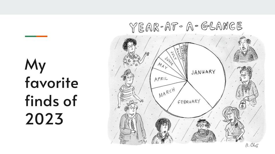
I would have liked to present you with a smorgasbord of data from my life in 2023 instead I have a few words, a few pictures, and a few lists. I hope you enjoy them.
I would have liked to present you with a smorgasbord of data from my life in 2023 instead I have a few words, a few pictures, and a few lists. I hope you enjoy them.
"The great truism that underlies the civic technology movement of the last several years is that governments face difficulty implementing technology, and they generally manage IT assets and projects very poorly." – Mark Headd
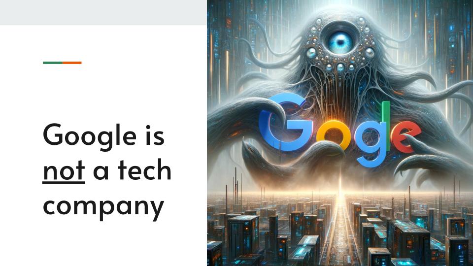
On 24 January 2023, the US Department of Justice filed a civil antitrust suit against Google for 'monopolizing multiple digital advertising technology products'. On 27 September 2023, Google celebrated 25 years of existence.
In honour of all things Google, I want to argue that Google is not a tech company. Google is an advertising company that uses technology to corner and dominate the ad market.
OpenAI co-founder Sam Altman, during an interview in Lagos, Nigeria with David I. Adeleke[^1], highlighted the promise of AI in Africa and introduced RLHF as a potential solution to AI bias. In this piece, we delve into RLHF's implications and how it might address prevalent AI biases.

You might resonate with this story if you've ever had to debug the strangest of issues with technical/mechanical systems;
"Software is eating the world"
– Marc Andreessen, co-author of Mosaic, the first widely used web browser with a graphical user interface; co-founder of Netscape; and co-founder and general partner of Silicon Valley venture capital firm Andreessen Horowitz
In today's world, tech is ubiquitous, and software is the engine that powers it. From streamlining operations to enhancing user experiences, software is a non-negotiable for non-profits. However, the question of whether to build or buy software is a critical one. This article explores the pros and cons of both approaches and offers a hybrid solution that can help non-profits thrive.
How does one accurately measure software development productivity? A study at Microsoft took a stab at surfacing insights from self-reported measures.

CTO positions can seem confusing in different organisations. Here are four general models observed based on Tom Berray’s 2002 framework;

This blog was orignally published on the Citizen Lab blog

This interview is part of a series of 12 expert interviews on the future of digital democracy. You can read the full white paper with interviews here.
Some of the decisions algorithms make about our lives are fairly benign, such as those irresistible ‘Suggestions for you’ on Netflix. But it gets far murkier when artificial intelligence (AI) and machine learning are used by businesses and governments for decision-making that affects our lives without us ever knowing about it. And worse, without us being able to appeal those decisions.